Dýrholaey Sea Arch
Dýrholaey translates as ‘Animal Door Island‘.
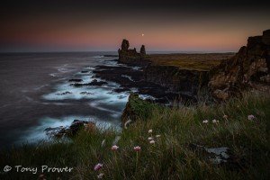
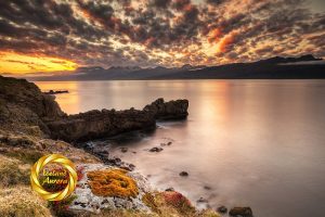
Dýrholaey is a volcanic island (well, almost) with a host of animal-shaped sea stacks on it’s southern side. The landmass was formed by sub-glacier eruptions many thousands of years ago during thick ice ages. The sea, weather, and other volcanic events have now shaped the location into a fabulous photographer’s paradise.
There are not many places where you can stand and get great shots in every direction, but Dýrholaey is one of them. The sea cliffs accommodate a large puffin colony from May – August. This location is featured on our Iceland Puffin Map.
How to get to Dýrholaey
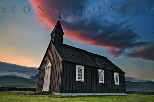
Dýrholaey is not to be missed on a south Iceland self-drive. From Reykjavik, follow the Icelandic Ring Road (highway #1) eastward. After passing the big waterfall at Skogafoss the flat coastal road has a right bend, then a left bend, then leads uphill. The right turn for Dýrholaey is just before the road goes uphill. There is a church opposite the turning.
Dýrholaey is a popular spot for sunsets on South Coast photo tours. It also features on multi-day Jökulsarlon photo tours.
Dýrholaey Viewpoints
Dýrholaey Lighthouse
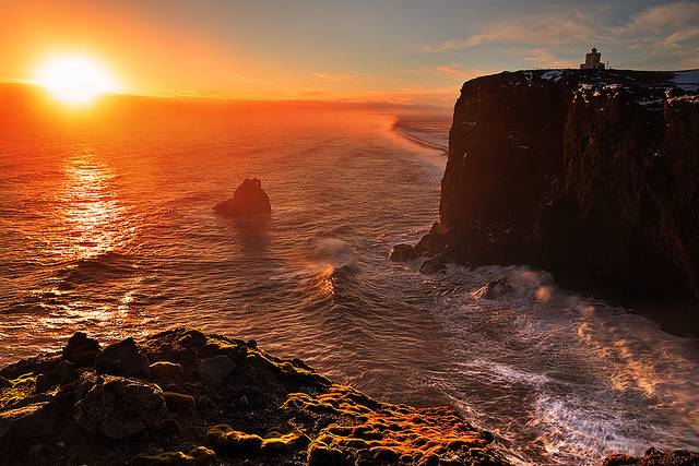
The lighthouse at Dýrholaey sits centrally on the highest point and warns of all the odd shaped rocks sticking out of the surface of the water below. The light house has a square architectural design with little castle turrets, the structure would have looked at home in British India in the days of the Empire.
Facing South
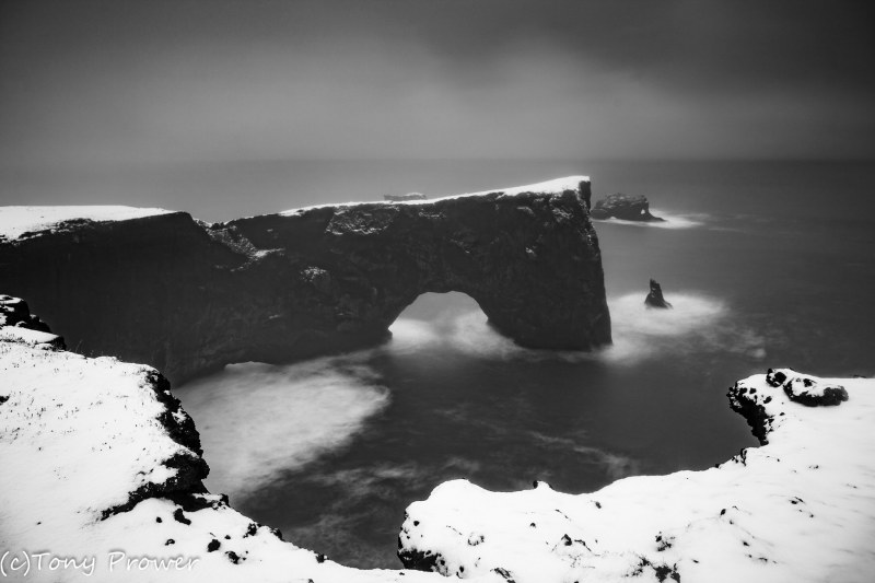
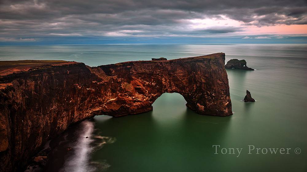
The view from Dýrholaey stretches out across the North Atlantic but the immediate ocean is dominated by these animal shaped sea-stacks. The largest has a huge door and is connected to the land. It is possible to walk out onto the door and here is a view of the door.
Facing West
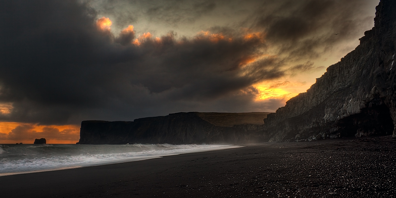
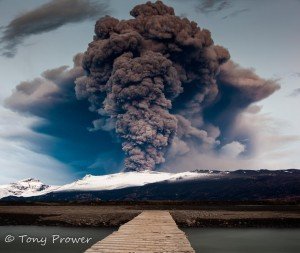
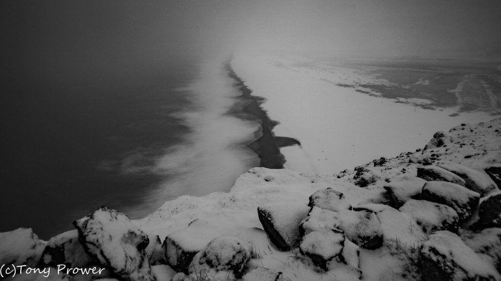
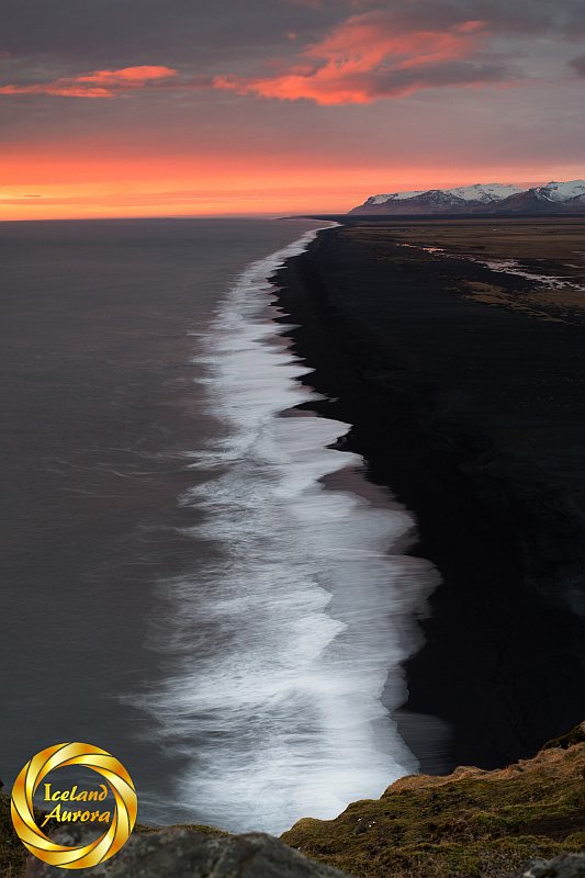
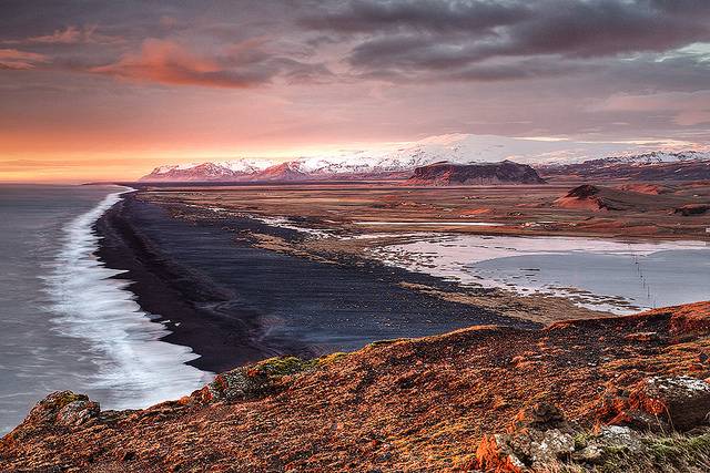
There is a magnificent view as the black beach stretches West for miles and miles. In clear weather there is a good view of the Eyjafjallajökull volcano. Also in view is the interesting Pétersey which is another fine example of a sub-glacial eruption.
Where to Stay
It used to be possible to walk out on the Dýrholaey sea arch. Although the ground is rough with rocks and boulders, the hike to the end of the arch was fairly safe. In the middle of the tourist boom, the authorities close the coastal feature to hikers.
Facing East
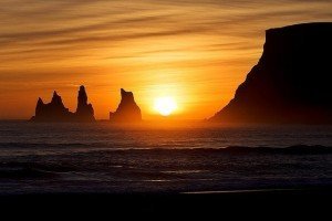
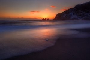
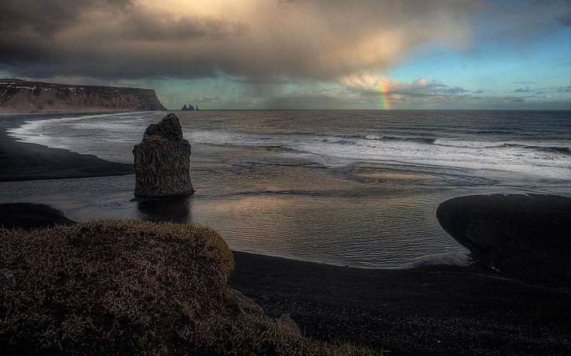
In the East it is possible to view Reynisdrangar (sea stacks at Vík) and from beach at Reynishverfi it is possible to see Dýholaey. Here is the beach at Reynishverfi from the cliffs at Dýrholaey.
Facing North
It is possible to see much of the Mýrdalsjökull Glacier which is dominated by the dome of the Katla Volcano.
Dýrholaey was the home of an important character in the Icelandic “Bruna Njalls Saga” (The Burning of Neil). Kari (the singed) was the only person to escape the arson attack. He was a friend of Njall’s son and he vowed to avenge the attack (although he never did). He was reported to have a farm here at Dýrholaey
Note: in the early Summer, they close Dýrholaey in the evenings to allow the birds to nest.
Danger!
A few years ago a Dutch couple were standing on the edge of the cliff here when it collapsed into the sea. Dutch couple in Dyrholaey.
Private South Coast Tours
South coast tours often include Dýrholaey. Small group tours & minibuses may explore the coastal road to the puffin cliffs. In good conditions, they might take you up to the lighthouse. These private tours increase the chances of being able to explore Dýrholaey fully.
